Other (U.S)
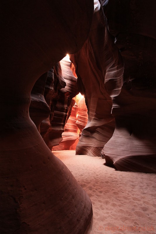
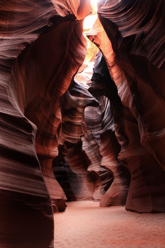
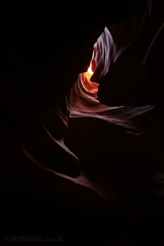
Antelope Canyon - Arizona
Antelope Canyon was formed by erosion of Navajo Sandstone, primarily due to flash flooding and secondarily due to other sub-aerial processes. Rainwater, especially during monsoon season, runs into the extensive basin above the slot canyon sections, picking up speed and sand as it rushes into the narrow passageways. Over time the passageways are eroded away, making the corridors deeper and smoothing hard edges in such a way as to form characteristic 'flowing' shapes in the rock. beams (shafts of direct sunlight radiating down from openings in the top of the canyon) occur most often in the summer months, as they require the sun to be high in the sky.


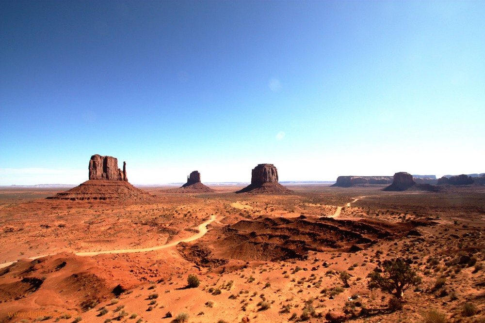
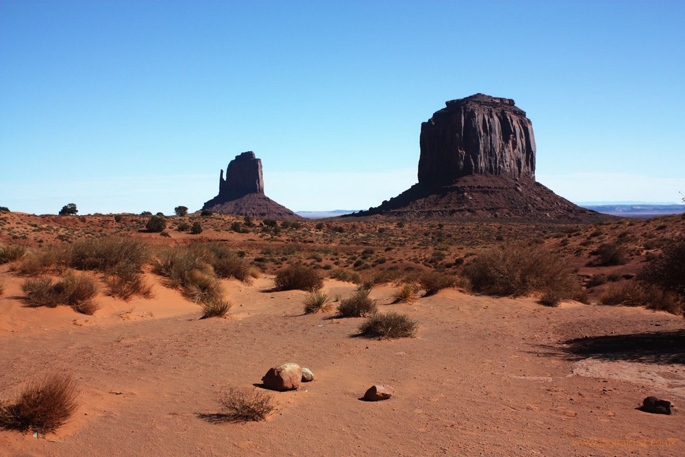
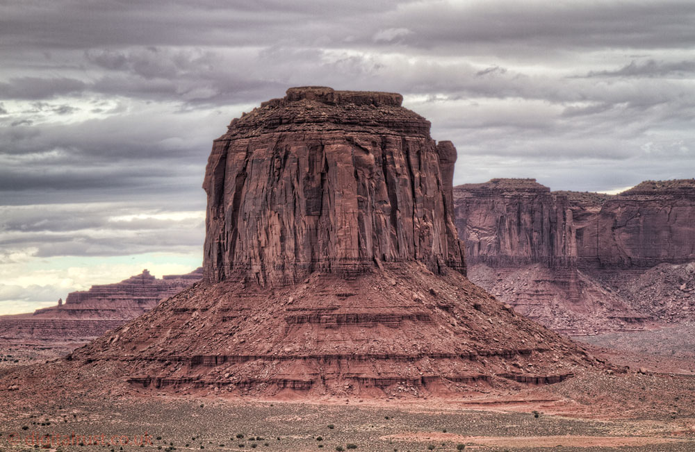
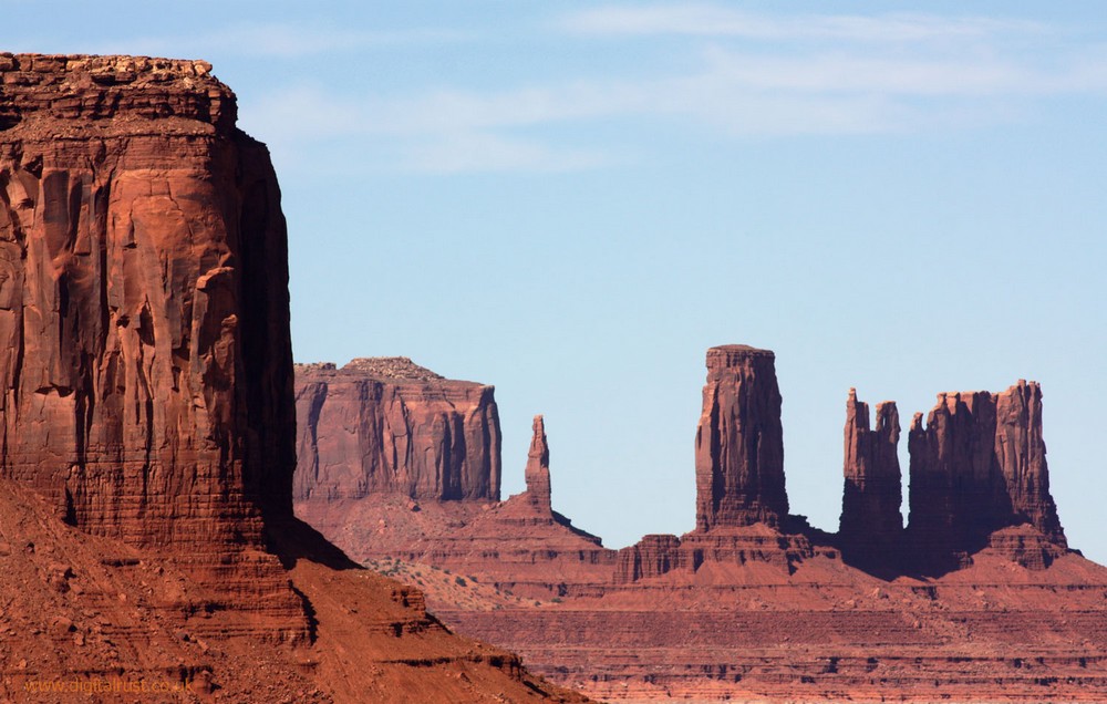
Monument Valley
Monument Valley (Navajo: Tsé Biiʼ Ndzisgaii, meaning valley of the rocks) is a region of the Colorado Plateau characterized by a cluster of vast sandstone buttes, the largest reaching 1,000 ft (300 m) above the valley floor. It is located on the northern border of Arizona with southern Utah.
The area is part of the Colorado Plateau. The floor is largely siltstone of the Cutler Formation, or sand derived from it, deposited by the meandering rivers that carved the valley. The vivid red color comes from iron oxide exposed in the weathered siltstone.
Monument Valley has been featured in many forms of media since the 1930s. It is perhaps most famous for its use in many John Ford films, including Stagecoach and The Searchers.


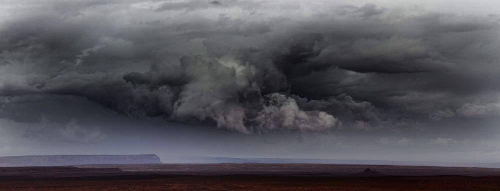
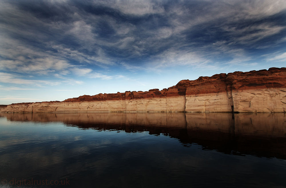
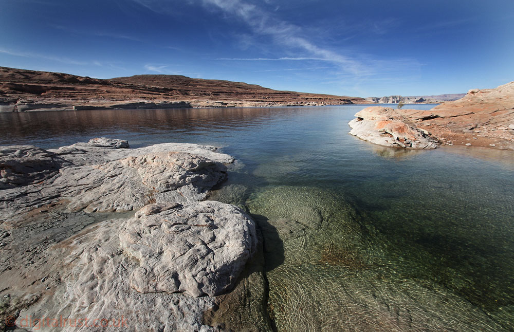
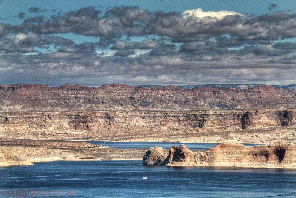
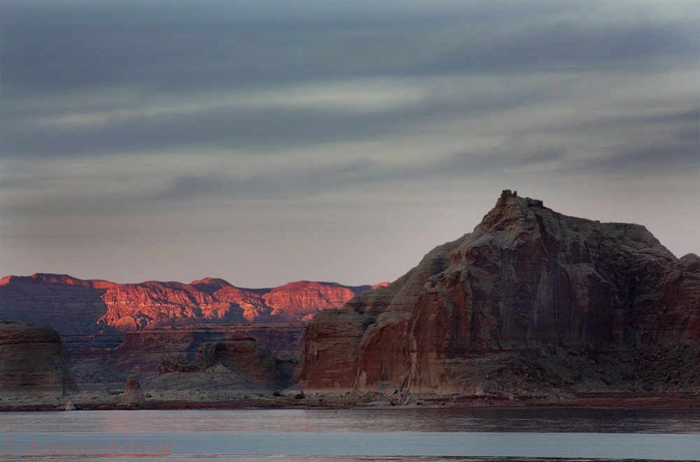
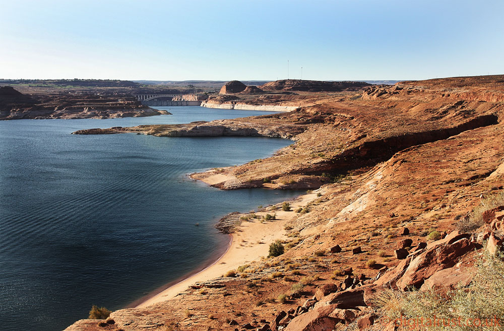
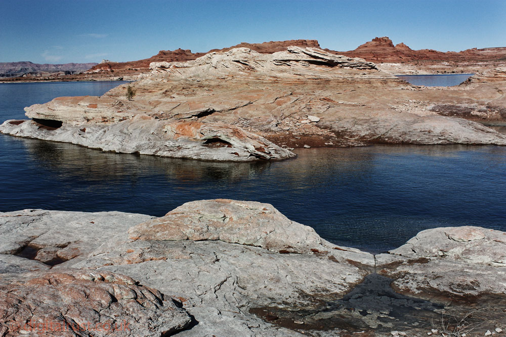
Lake Powell, Page - Arizona
Glen Canyon was carved by differential erosion from the Colorado River over an estimated 5 million years. The Colorado Plateau, through which the canyon cuts, arose some 11 million years ago. Within that plateau lie layers of rock from over 300 million years ago to the relatively recent volcanic activity. It is the second largest man-made reservoir in the United States behind Lake Mead, storing 24,322,000 acre feet of water when full. For the original 1968 "Planet of the Apes" film, most of the early scenes of a desert-like terrain were shot in northern Arizona near the Grand Canyon, the Colorado River, Lake Powell, Glen Canyon.


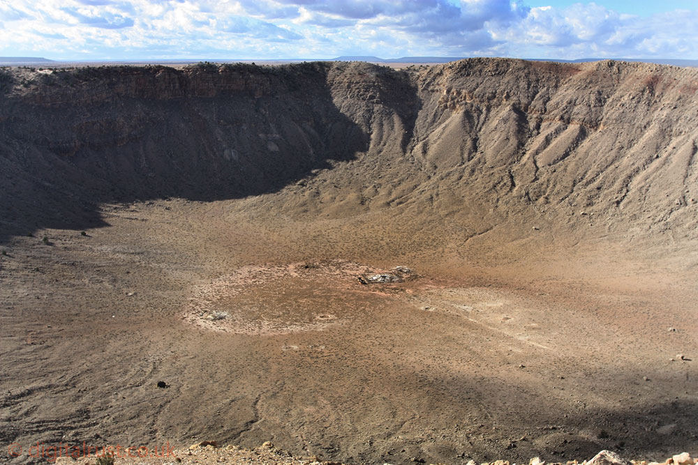
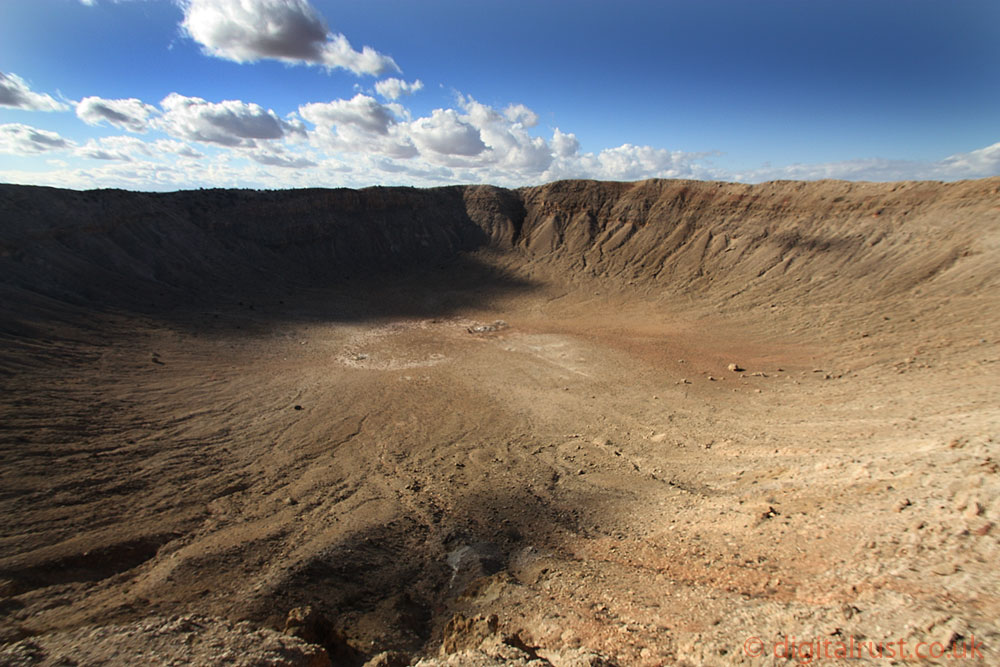
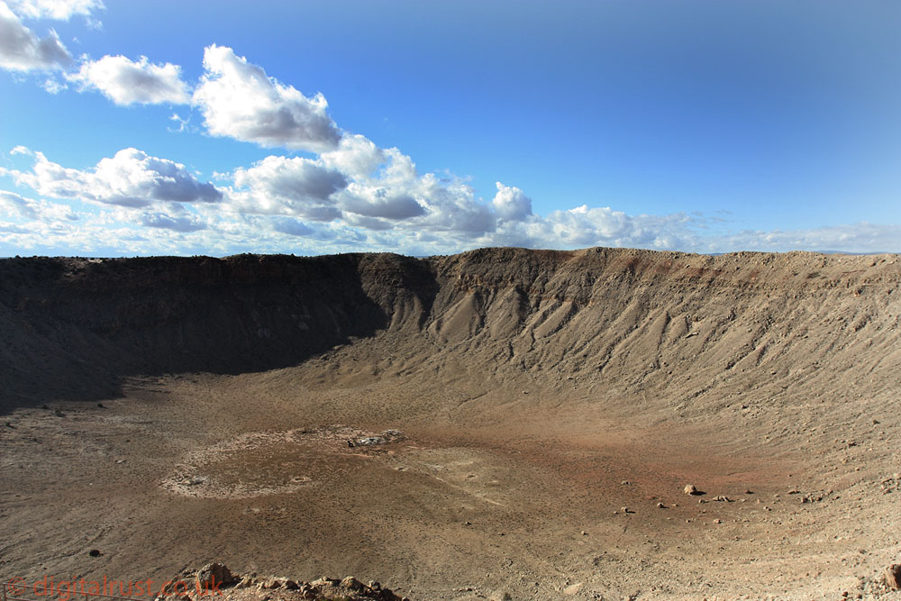
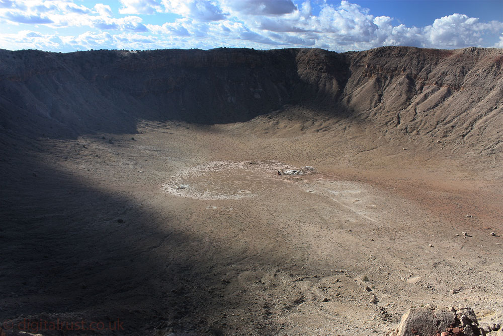
Meteor Crater - Arizona
Meteor Crater lies at an elevation of about (5,709 ft) above sea level. It is about (4,000 ft) in diameter, some (570 ft), and is surrounded by a rim that rises (150 ft) above the surrounding plains. The center of the crater is filled with (700–800 ft) of rubble lying above crater bedrock. The crater was created about 50,000 years ago during the Pleistocene epoch when the local climate on the Colorado Plateau was much cooler and damper. The object that excavated the crater was a nickel-iron meteorite about (54 yards) across, which impacted the plain at a speed of several kilometers per second. Impact energy has been estimated at about 10 megatons.
The NASA JPL website has some nice views from above the crater to give a better sense of scale http://neo.jpl.nasa.gov/images/meteorcrater.html


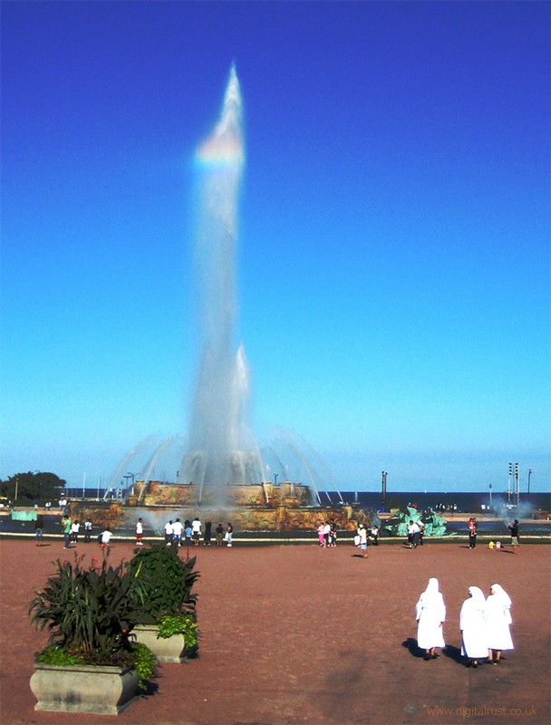
Downtown Chicago


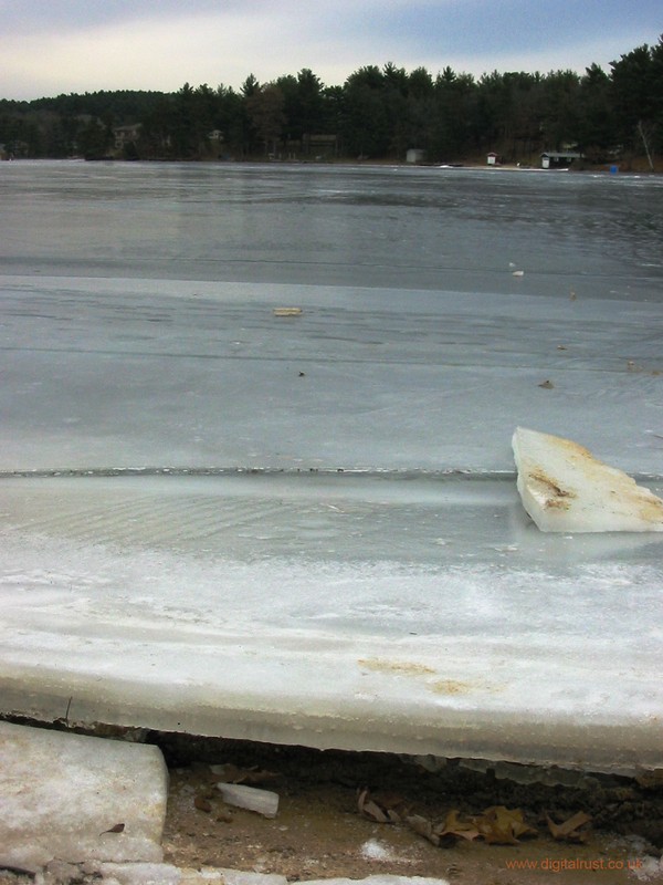
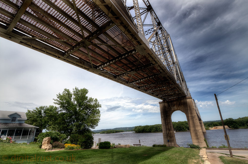
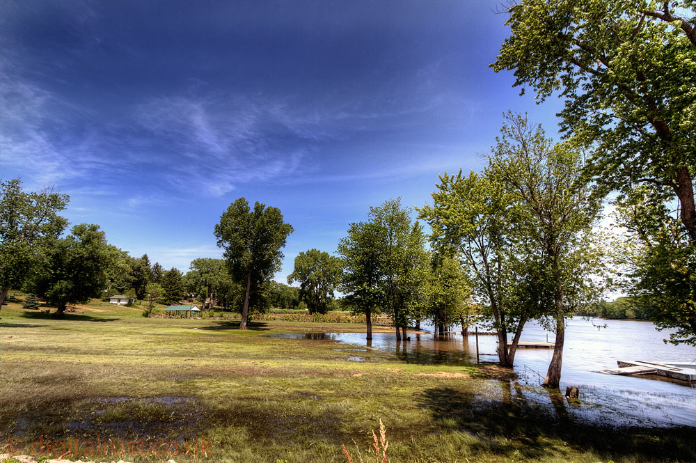
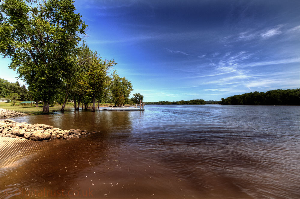
Upper Mississippi River Area - Iowa / Wisconsin
These photographs were taken predominantly around Prairie Du Chien and Marquette heading north along Hwy X52 following the Iowa side of the upper Mississippi to Lansing. The river is over 2 miles wide in places along this stretch and makes for spectacular views.
I have also included a few pictures taken about 70 miles East from here in the Wisconsin Dells area between Lake Delton and Fawn Lake.


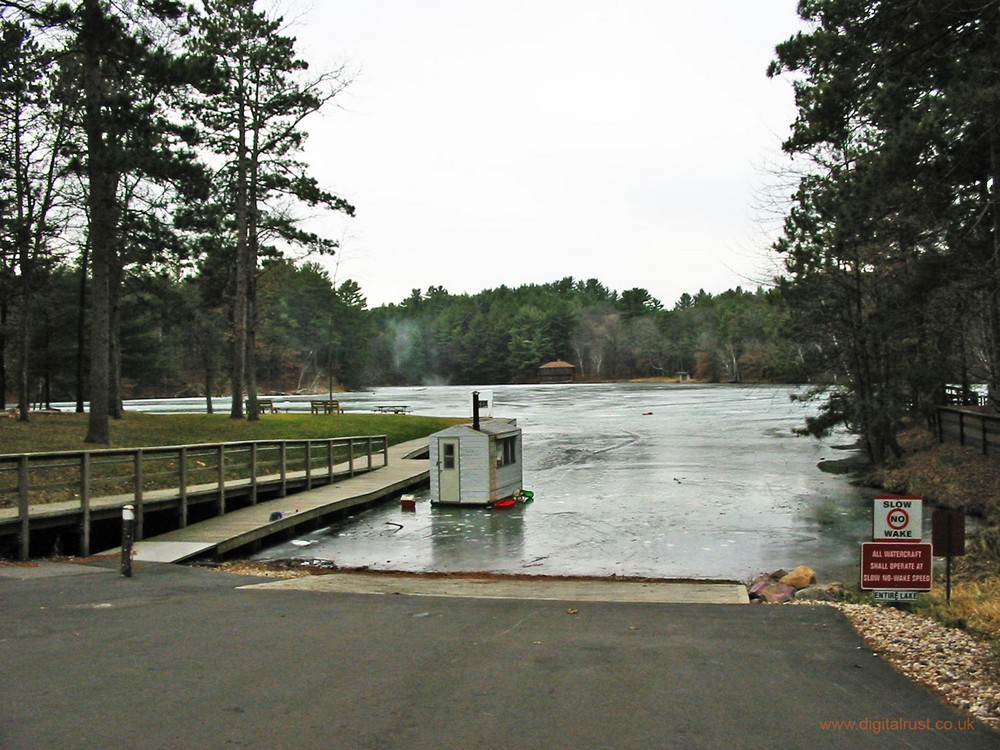
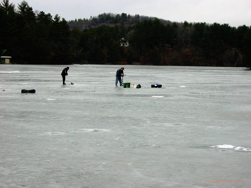
In and around Wisconsin